ARCCA experts use the latest in drone technology to document evidence and capture imagery from unique perspectives that can only be captured from the sky. Our drones are operated by FAA licensed drone pilots and are capable of capturing aerial photographs and breathtaking 4k stabilized video. ARCCA’s aerial surveys of incident sites and buildings create three-dimensional photogrammetry models that are dimensionally and visually accurate. Photogrammetric point clouds produced from drone imagery can be combined with laser scan data to aid in accident reconstruction analyses.
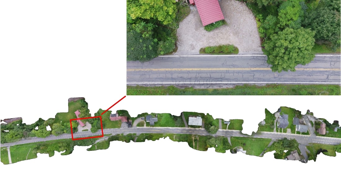
ARCCA experts utilize aerial photography and video in rapid response evidence capture situations. Aerial imagery is the ideal documentation technique for the preservation of physical evidence such as roadway gouges, tire and yaw marks, and police markings which become more difficult to identify as time passes.
